
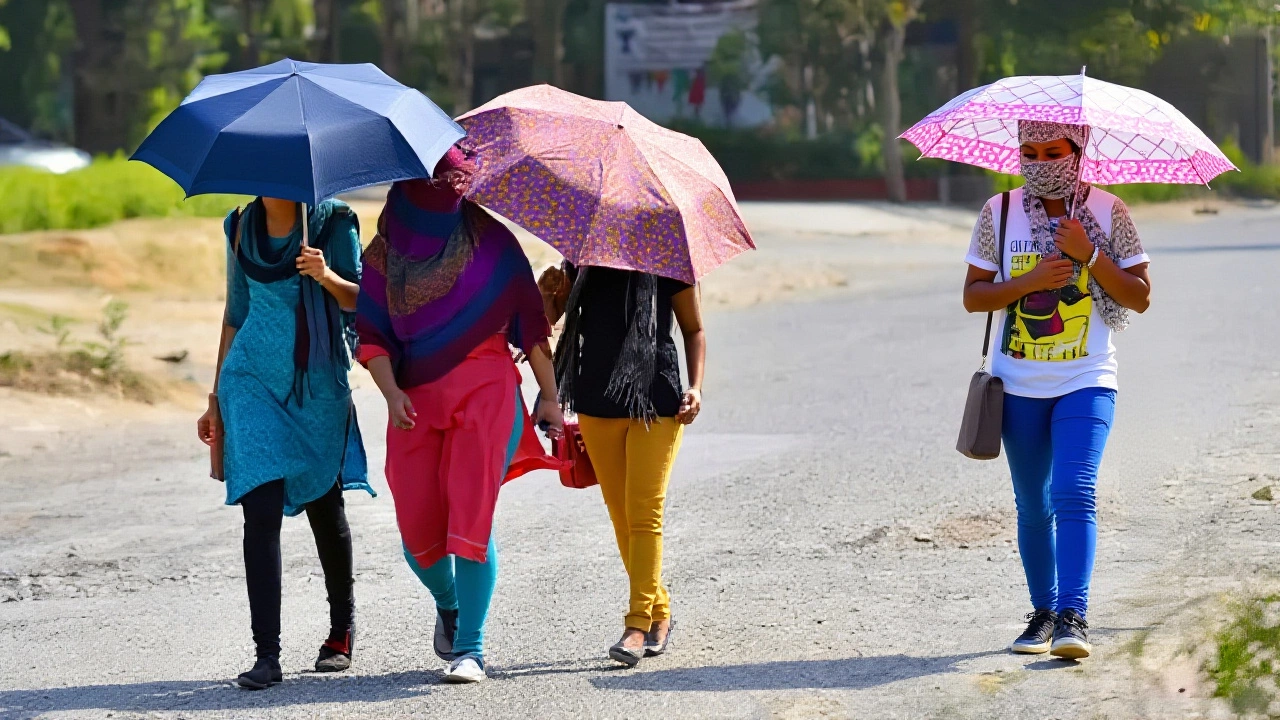
It’s getting dangerously hot across large parts of India, with temperatures soaring past 48 degrees Celsius in some areas while the promise of rain remains elusive for millions. The India Meteorological Department (IMD) has issued a stark warning: brace yourselves for a brutal stretch of "severe heatwaves" followed by erratic storms and heavy rains in select regions.
Here’s the thing—this isn’t just a warm summer day. It’s a meteorological whiplash. While cities in North and Central India bake under record-breaking heat, cyclonic circulations are brewing over Pakistan and Andhra Pradesh, setting the stage for dust storms, thunderstorms, and hail. If you’re planning to be outdoors anytime soon, you need to know exactly what’s coming.
Record-Breaking Heat Grips Northern Plains
The heat is not just uncomfortable; it’s historic. In Banda, Uttar Pradesh, thermometers have already touched a staggering 48.2°C, shattering previous records. This isn't an isolated incident. Multiple stations in Delhi recorded highs of 45.1°C at Palam and Safdarjung, while Mungeshpur saw temperatures climb between 46°C and 46.5°C.
But wait, it gets hotter elsewhere. Cities like Khajuraho, Chittorgarh, Hamirpur, and Akola are hovering around the 46°C mark. Even places like Alwar and Prayagraj are seeing readings near 45.8°C. Essentially, more than half of India's major urban centers are currently struggling under extreme thermal stress, with nighttime temperatures failing to drop significantly, offering little relief to residents.
The Weather Whiplash: Heat Meets Storms
You might think rain would bring immediate cooling, but the IMD warns of a complex mix. A cyclonic circulation forming over Pakistan and adjacent Punjab-Haryana regions is expected to trigger dusty winds and scattered showers. Meanwhile, another system over Andhra Pradesh is fueling cloud development, likely bringing rain to parts of Odisha.
Turns out, the atmosphere is highly unstable. Between April 29 and May 1, 2026, expect thunderstorms accompanied by gusty winds reaching speeds of 40–50 km/h, with localized bursts hitting 60–70 km/h in Punjab, Haryana, Delhi, and Western UP. For farmers, this is critical information—the IMD has issued specific alerts for wind damage during these periods.

Regional Breakdown: Who Gets Rain?
While the north bakes, other parts of the country are dealing with water. Here is how the precipitation is spreading:
- Southern India: Kerala, Lakshadweep, and the Andaman-Nicobar islands are experiencing active rainfall. Karnataka, Tamil Nadu, and the Western Ghats see light to moderate showers.
- Himalayan Regions: Jammu & Kashmir, Himachal Pradesh, and Uttarakhand are bracing for intermittent light-to-moderate rain, snowfall, and strong winds until May 3. Hailstorms are specifically warned for Himachal and Uttarakhand.
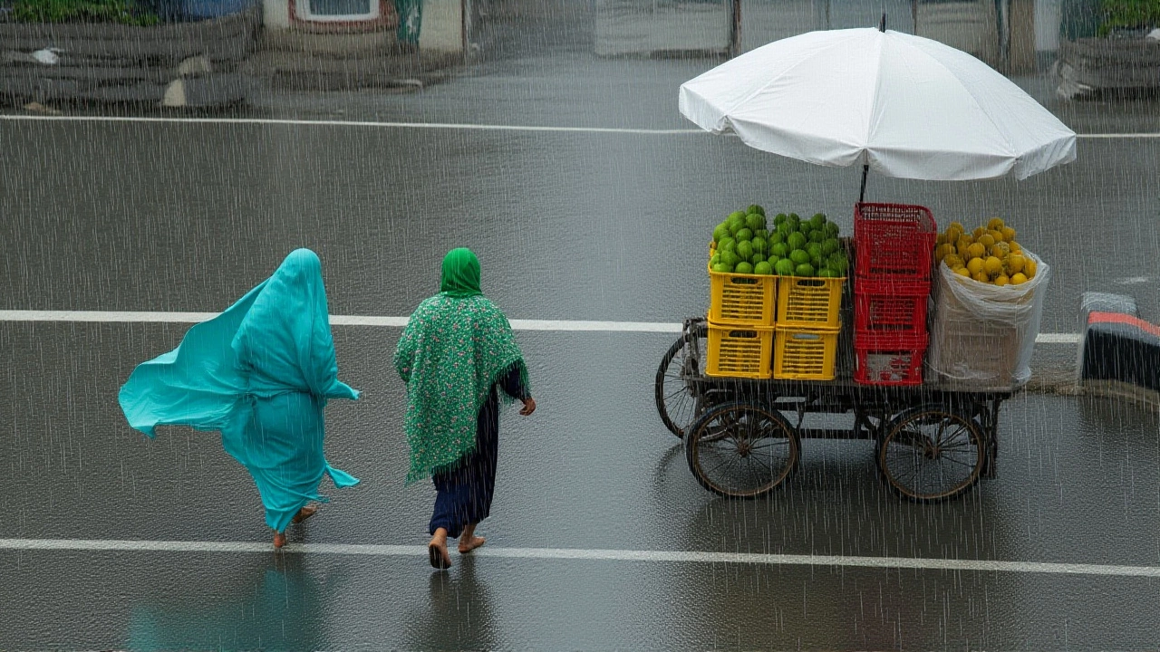
- Eastern Corridor: Bihar, Jharkhand, and West Bengal face the risk of good rainfall, with potential waterlogging in low-lying areas. Heavy rain is also possible in Northeastern states.
- Central India: Madhya Pradesh and Chhattisgarh may see sporadic thunderstorms with rain lasting until early May.
In Tripattur, recent rainfall was recorded at 32mm, following earlier episodes exceeding 100mm. This contrast highlights the fragmented nature of the current weather pattern.
When Will the Heat Break?
If you’re suffering through the "Nautapa" period—a traditional nine-day phase known for intense, third-degree burn-like heat—there is a glimmer of hope. The IMD predicts a significant shift after May 29. Temperatures could drop by 6°C to 8°C as the monsoon systems begin to consolidate.
However, don’t hold your breath yet. Until late May, the heatwave will persist, particularly in Eastern UP where a "severe heatwave" alert is active. The yellow alert issued by the IMD serves as a cautionary signal that while conditions may ease slightly later in the month, the immediate future remains scorching.
Frequently Asked Questions
What is the current temperature record in Banda, UP?
Banda has recorded a maximum temperature of 48.2°C, which stands as a new high for the region. This extreme reading contributes to the widespread severe heatwave conditions affecting Eastern Uttar Pradesh and surrounding areas.
When is the monsoon expected to provide relief from the heat?
The IMD forecasts a significant temperature drop of 6°C to 8°C after May 29, 2026. Until then, residents should expect continued high temperatures, with only temporary relief from sporadic thunderstorms in specific zones.
Are there risks of hail or snow in northern states?
Yes, Himalayan states including Himachal Pradesh, Uttarakhand, and Jammu & Kashmir are under alert for hailstorms and snowfall. These events are expected to continue intermittently until at least May 3, impacting travel and agriculture in those hill regions.
How does the 'Nautapa' period affect daily life?
The Nautapa period marks nine days of intense, unrelenting heat often described as causing "third-degree" discomfort. During this time, outdoor activities become hazardous, energy consumption spikes, and health risks related to heatstroke increase significantly for vulnerable populations.